Taipower Tower Base Geological Sensitivity Assessment
Location : Wanrong, Hualien County. Township Fenglin–Yuli 161 kV Transmission Line
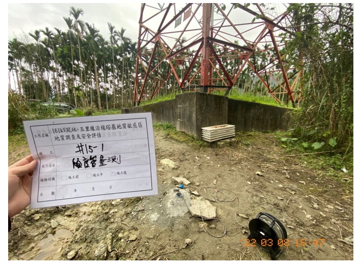
Site Characteristics Tower #15 is located within the Hualien (L0017) landslide and rockfall geological sensitive zone.
Project Scale Tower foundation parcel: 0.02 ha(Hualien County, Wanrong Township, Wanli Section, Lot No. 2011) Regional investigation area: 6.13 ha
Geotechnical Features Field reconnaissance and borehole data indicate that the subsurface to 30 m depth consists of mixed soil and rock fragments. Interpretation of historical satellite imagery shows no significant geomorphic changes. During inclinometer monitoring, sections #15-1 A+ (downslope) and B+ (parallel to slope) exhibited minor S-shaped displacement patterns, with magnitudes <4 mm, which do not represent characteristics of stratigraphic sliding. No progressive deformation trend is observed at the tower site. Groundwater levels ranged from 9.37 m to 9.45 m below ground surface, without notable fluctuation. Slope stability analyses show that the upper and lower slopes meet the safety factors required by soil and water conservation regulations, indicating that the tower’s surrounding slopes do not pose a stability risk. The tower foundation is already constructed, and dense vegetation surrounds the structure. No signs of scarping or slope failure are present. Numerical analyses also indicate no evidence of slope movement under current conditions. As the tower remains structurally sound with no visible landslide indicators, additional slope stabilization measures are not required.